« Back to Wireless InSite Features
Feature Import
Features in Wireless InSite are cities, objects, terrain and foliage. Various file formats are supported for each object import.
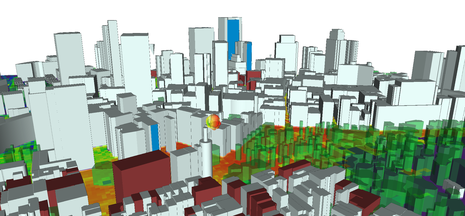
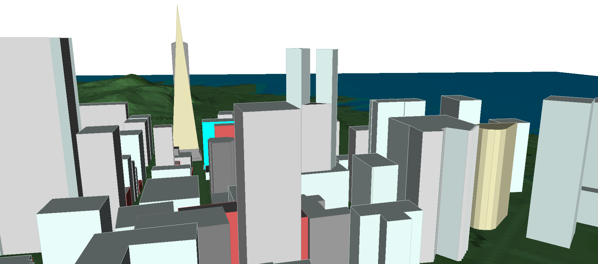
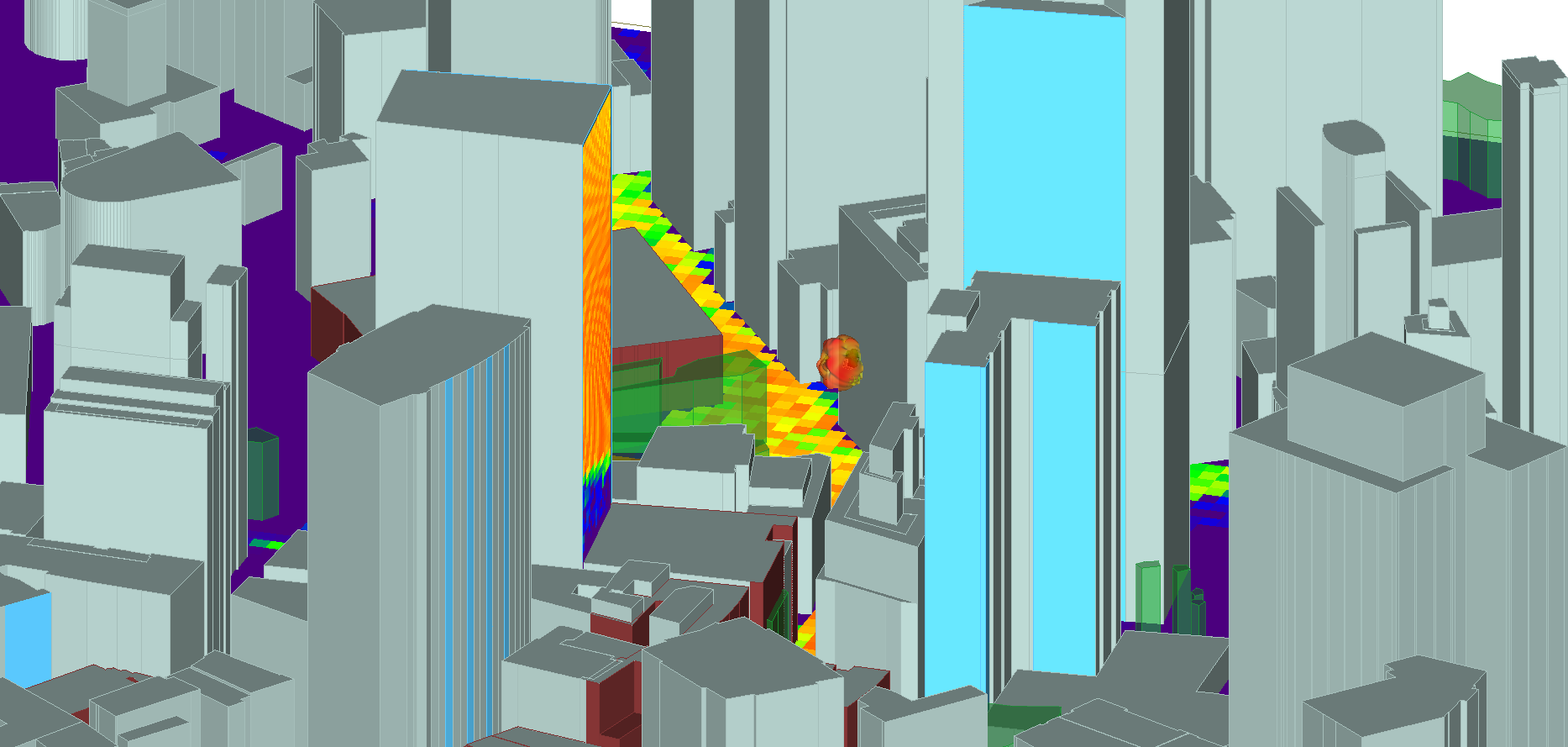
Cities
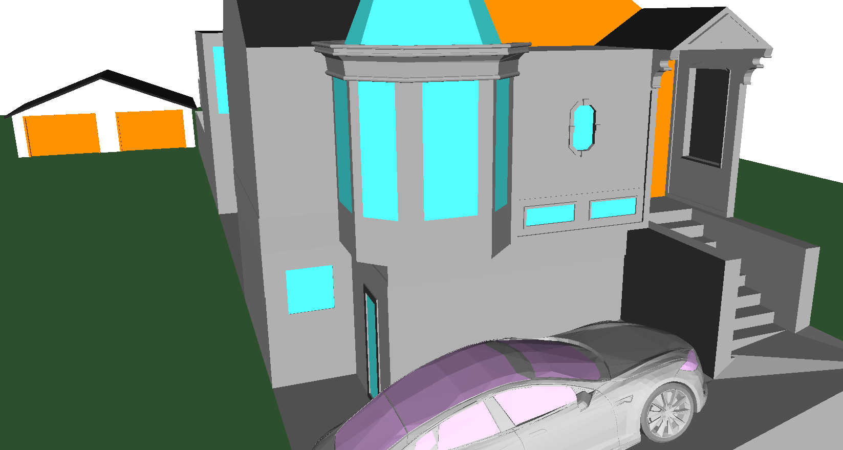
DXF (.dxf) and Shapefiles (.shp) are supported for building geometry importing for cities. Building data can be in latitude/longitude, UTM or Cartesian coordinates. Material properties can be assigned to each building after importing into Wireless InSite. Floorplans can be imported in DXF format.
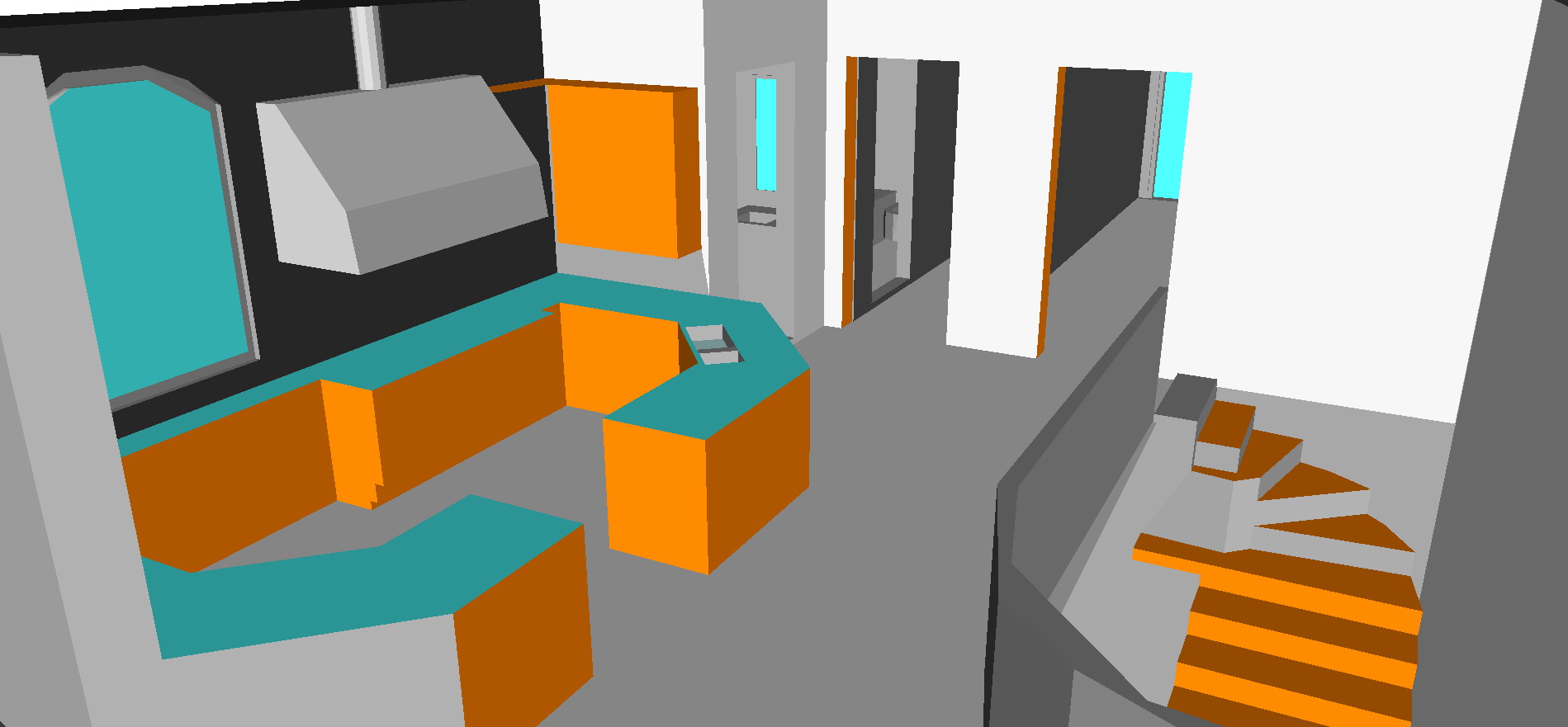
Objects
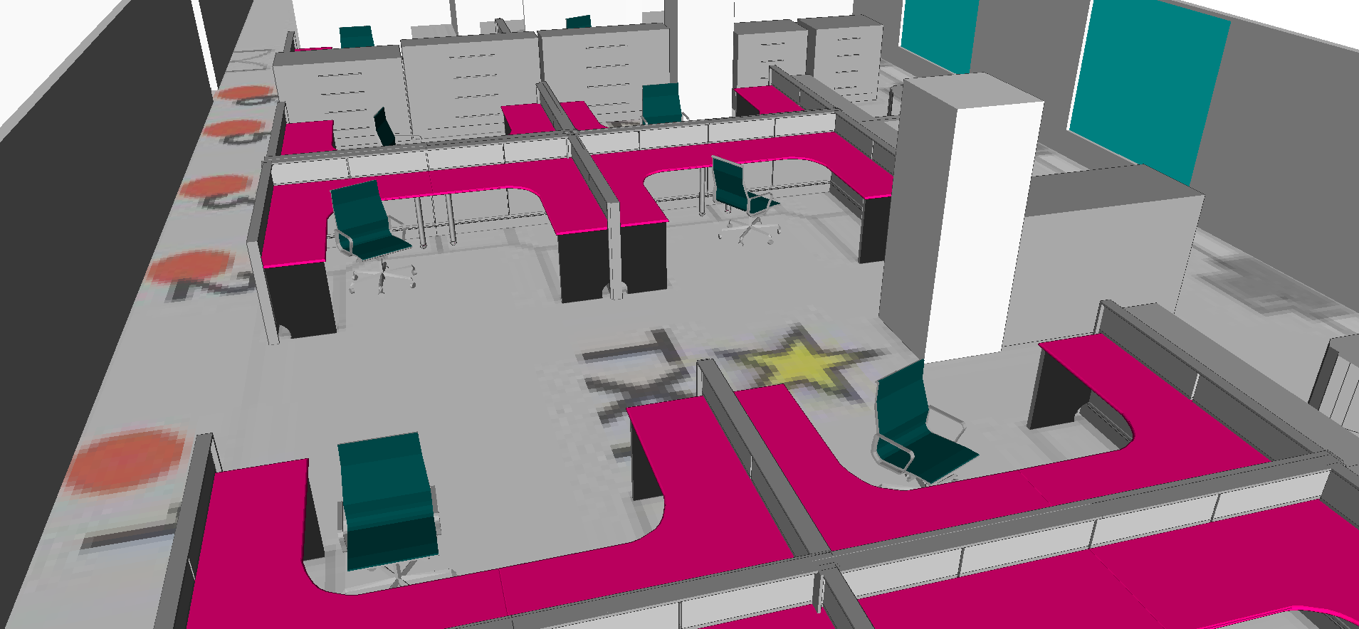
KMZ (.kmz) and COLLADA (.dae) geometry files are typically designed to be imported as objects. These formats are international standards supported by many 3D digital content creation (DCC) tools and 3D Geographic Information System (GIS) tools. Users can import KMZ and DAE for adding single structures, such as high resolution buildings, furniture, or floors to a scene.

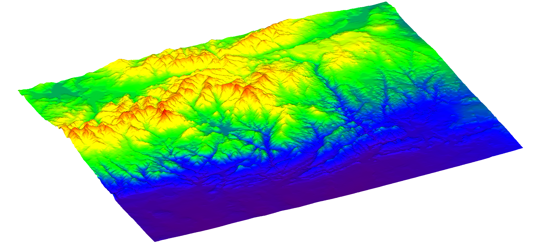
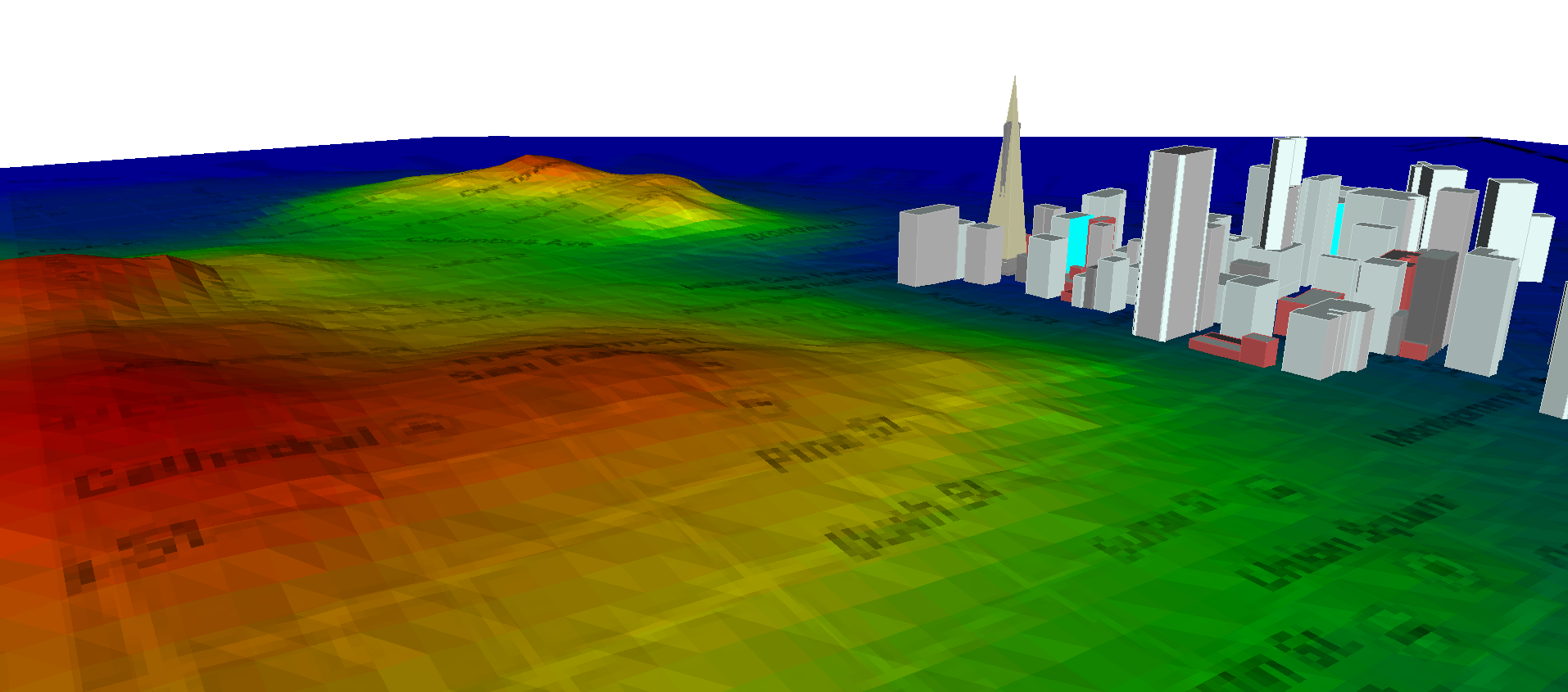
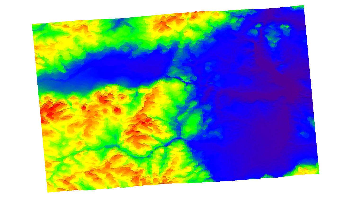
Terrain
Wireless InSite is integrated with the Geospatial Abstraction Library (GDAL) and supports DTED, DEM, Japanese DEM, SDTS DEM, ASCII Grid UTM, TIFF, BigTiff, and GeoTiff formats. In addition to the GDAL formats verified by Remcom’s development team, users have access to over 100 additional GDAL file formats for importing.
Foliage
Geo-referenced foliage information can be imported from data in the Global Land Coverage Characteristics (GLCC) database, which is available for download from the Land Processes Distributed Active Archive Center (LPDAAC). This database has information on Seasonal Land Cover Region (SLCR), which has a 1x1 km resolution.